GIS Cloud Suite
Service Extension
GIS Cloud Suite is an extensionable service-oriented GIS development platform. The GIS functions can be enhanced by extending and developing. It is helpful for users to customize their own service-oriented GIS platform, and satisfied the requirement of the industry applications. GIS Cloud Suite categorizes spatial services into two types. One is General Spatial Services (GSS) provided by GIS Cloud Suite itself, including 3D, mapping, etc. The other type is Domain Spatial Services (DSS) which users build by themselves for processing spatial information based on special business logics of their domains, such as a map service for wind direction symbols applied in the meteorology industry.
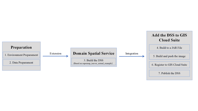
Before extending, you need to configure your local environment, and download iServer microservice development and extension resource package ‘supermap_iserver_extend_example’. The iServer microservice development and extension resource package ‘supermap_iserver_extend_example’ is used for extending GIS Cloud Suite, you can build the DSS based on ‘supermap_iserver_extend_example’. When you finish building the DSS, add it to GIS Cloud Suite then.
